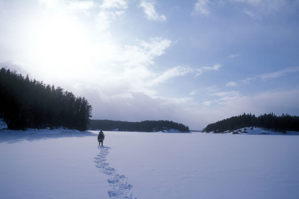
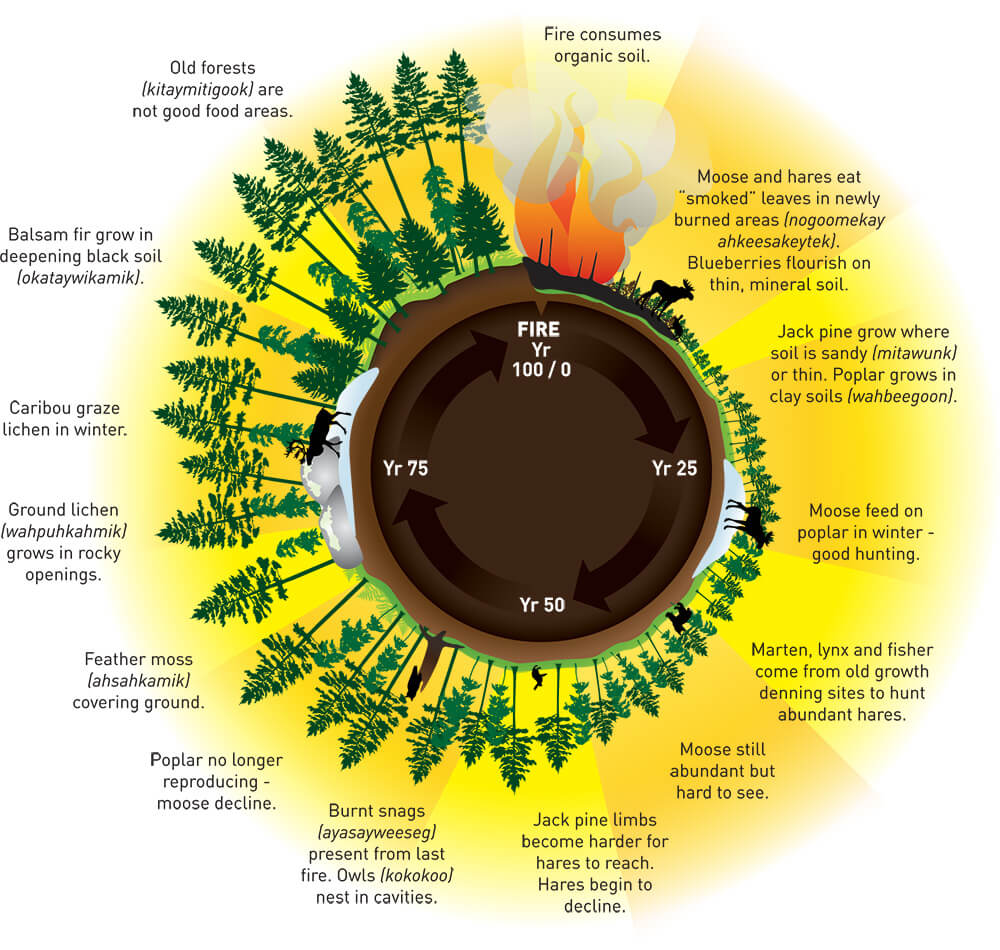
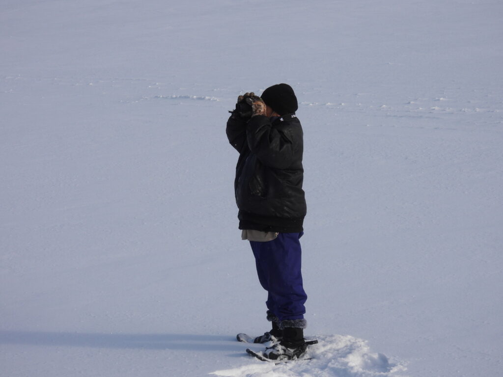
Ever since November, when snow fell in Bloodvein River First Nation and was here to stay, Guardian Melba Green has been following animal tracks to gain clues about their winter activities, habitats, and movements.
“It’s good to see tracks. It means the animals live here, too, and walk among us. They are exploring and hunting. They roam alone or in packs.”
Tracks are intriguing
“I like to think about what the animal was doing and why, based on its tracks,” Melba says.
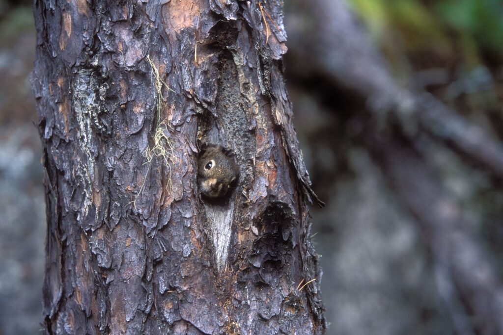
Tracks might tell you if a fox chased a hare, whether the hare reached safety, or if a kill was made. Sometimes you can see that an animal has sped up in the snow, suggesting it was spooked. Some tracks leave you wondering. Such as, why did the squirrel turn around and head back up the tree? Did it sense a predator nearby? Or, what is this mark in the snow beside the lynx tracks? Was the lynx dragging prey from its mouth?
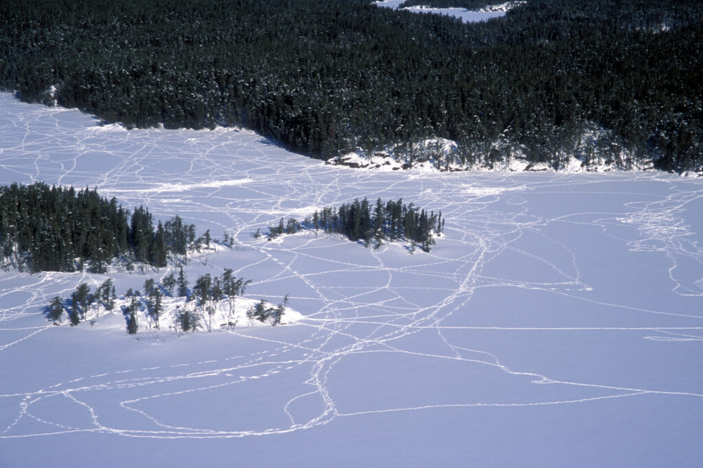
“It’s best to go tracking after a snowstorm,” says Melba. This is when snow is fresh and animals are out in search of food. “Old tracks are harder to identify.”
Look for tracks when snow is fresh.
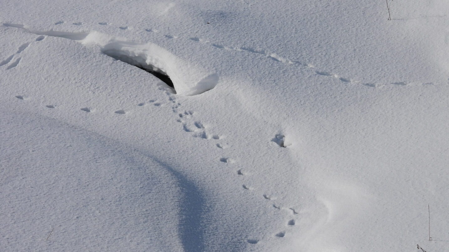
Track Patterns
Melba notes that different animals move in different ways. The animal’s track pattern is the biggest clue and first thing she looks for, she says. Here are five track patterns to spot this winter.
Identify the track pattern first.
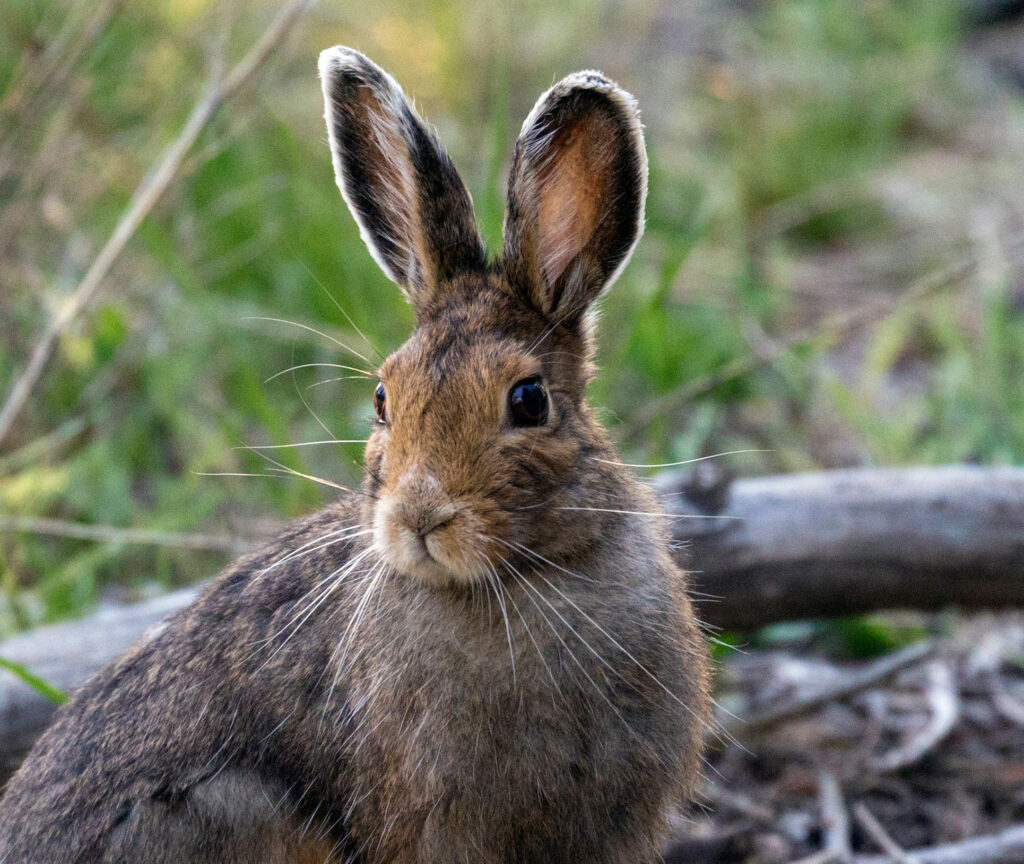
1. Hoppers
Snowshoe hare, mouse, red squirrel
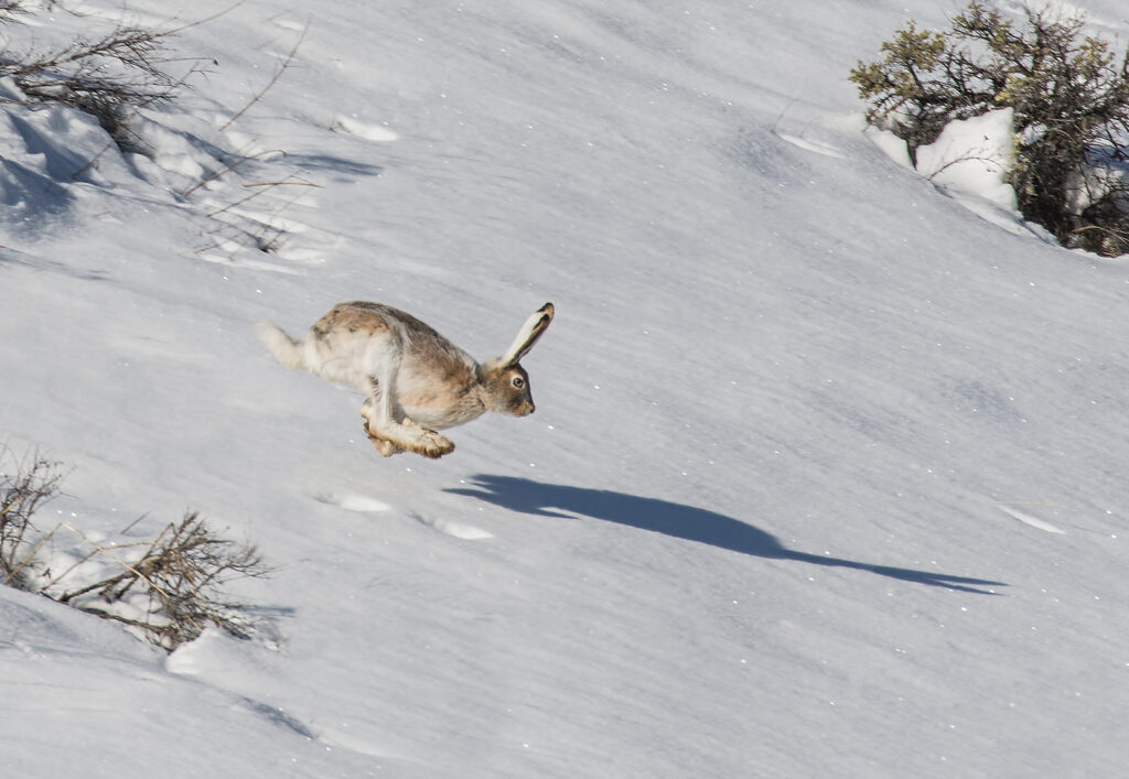
Hoppers usually have back legs that are bigger than their front legs. When the animal hops, its front feet land first, then its back feet swing forward and land in front of the front feet.
What to look for: Clumps of four prints

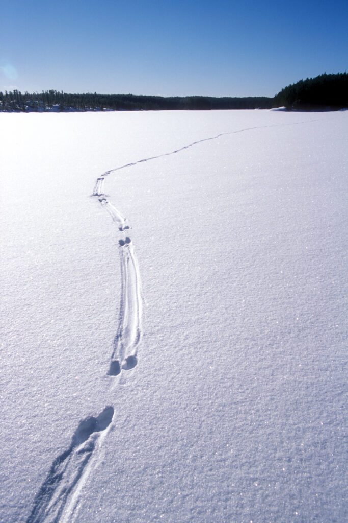
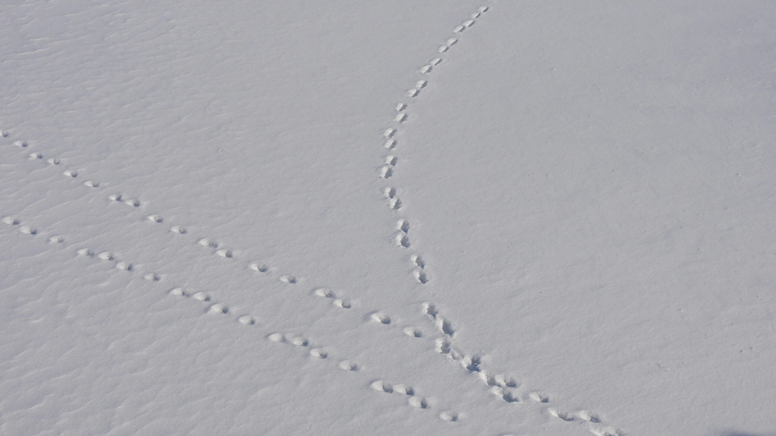
2. Bounders
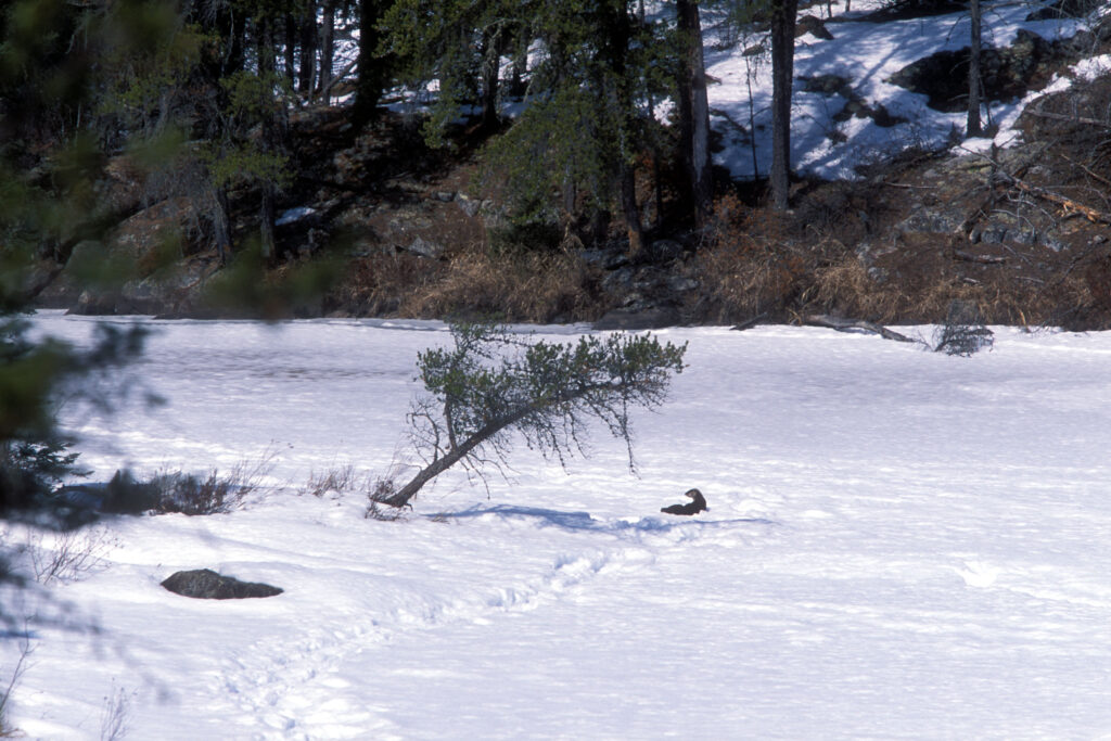
Mink, otter, marten, weasel
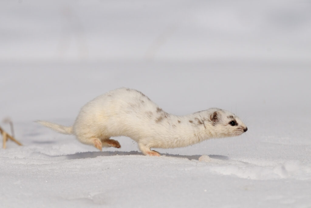
Bounders usually have long bodies and short legs that are all the same size. When the animal moves forward, its front feet are down. In a single motion, it lifts its front feet and pushes off with its back feet. The back feet land almost exactly where the front feet were.
What to look for: Two prints side by side, with one print slightly in front of the other (it looks almost as though the animal was hopping on two feet)

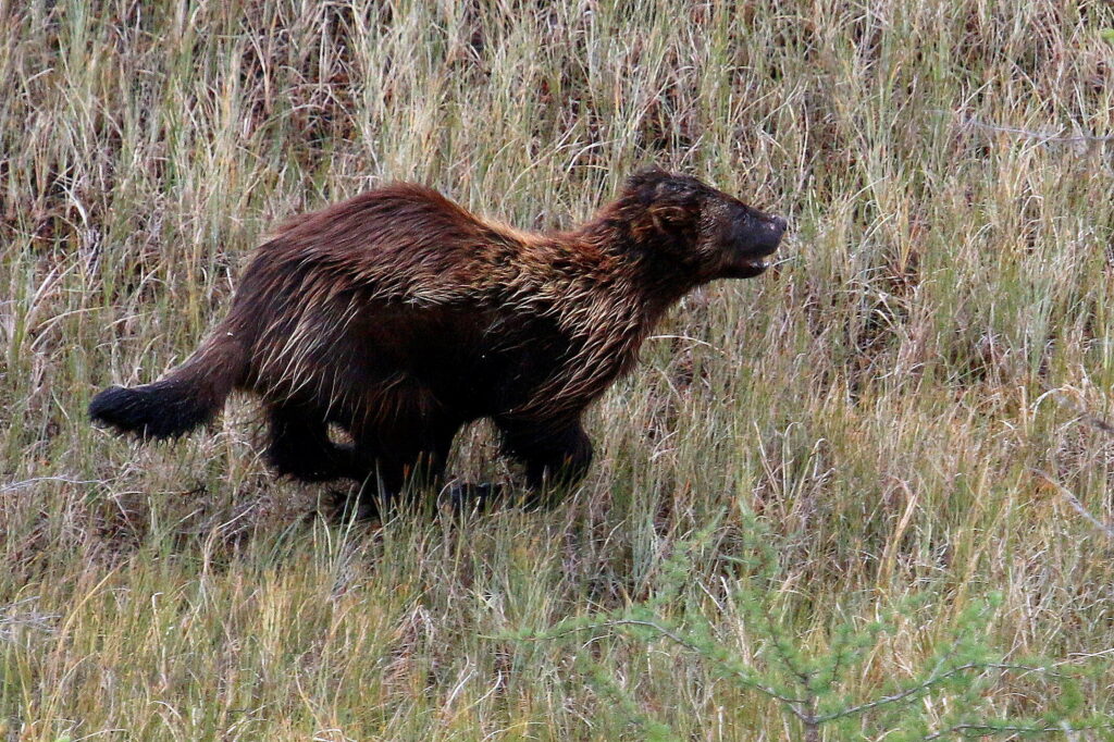
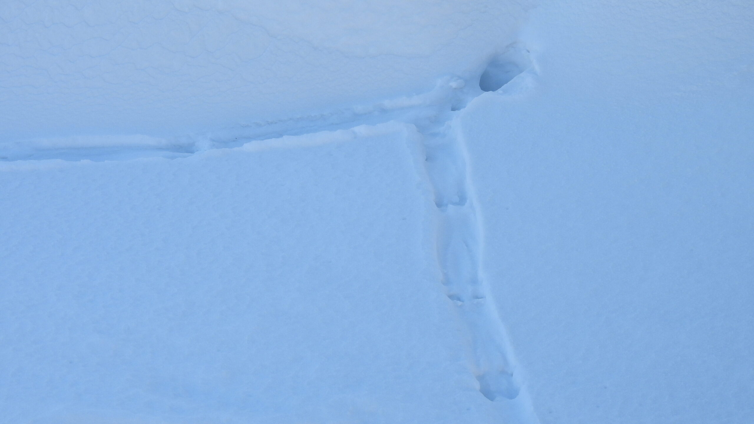
3. Waddlers
Bear, beaver, muskrat, porcupine, skunk, woodchuck
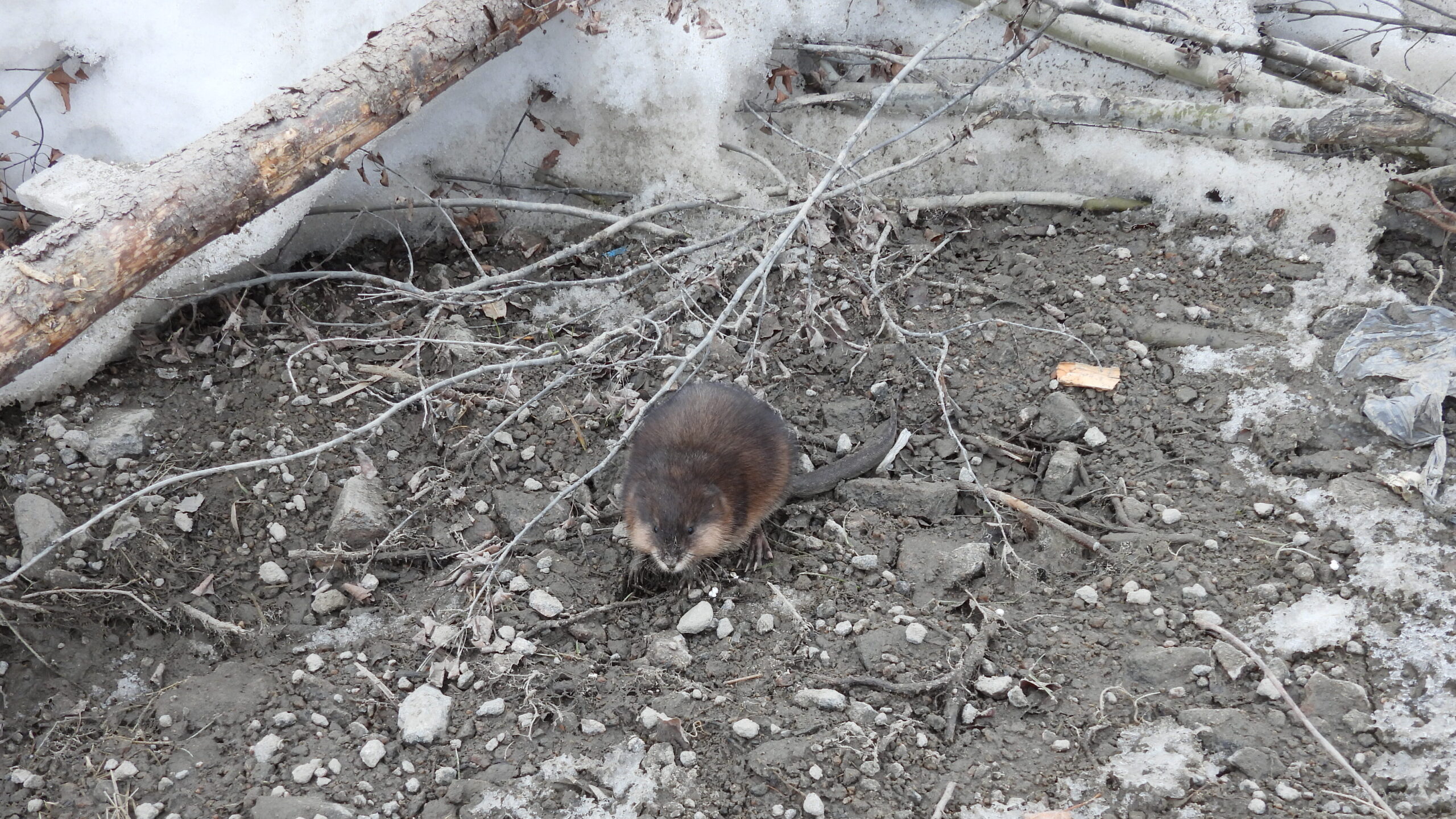
Waddlers usually have short legs and shift their bodies side to side as they walk, dragging their bellies. Their front and back legs move together on one side of their body, then the other side. All four prints land in separate spots.
What to look for: A front and back print next to each other, on each side
Bears occasionally wake up and move around during winter.
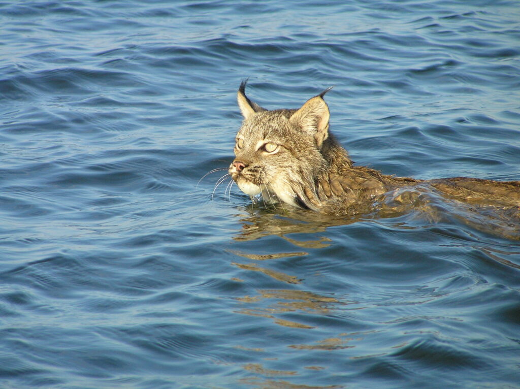
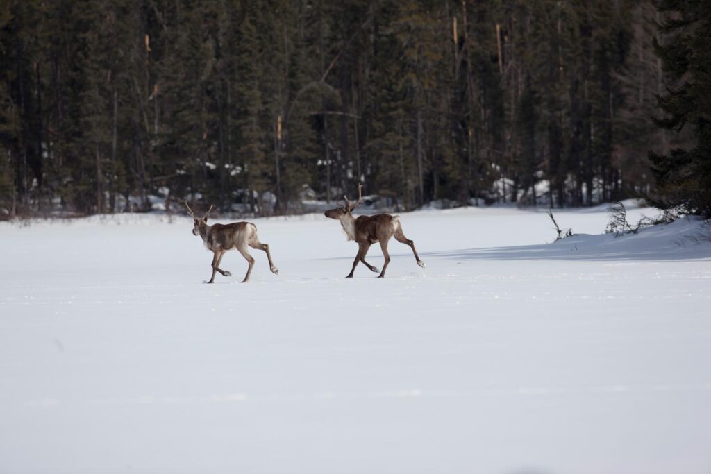
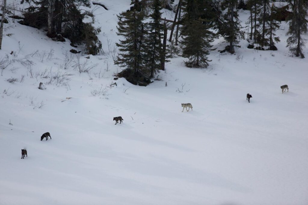
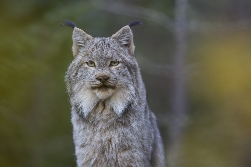
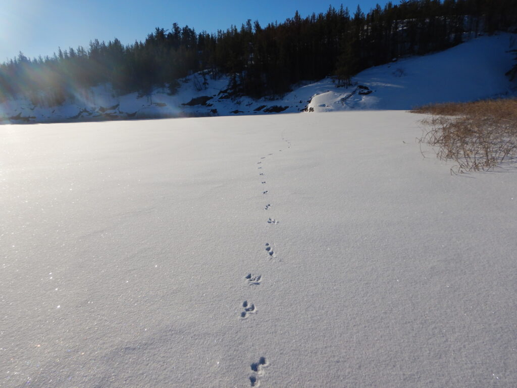
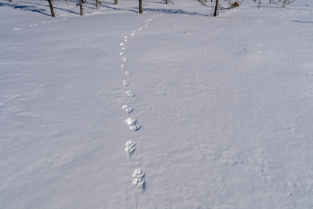
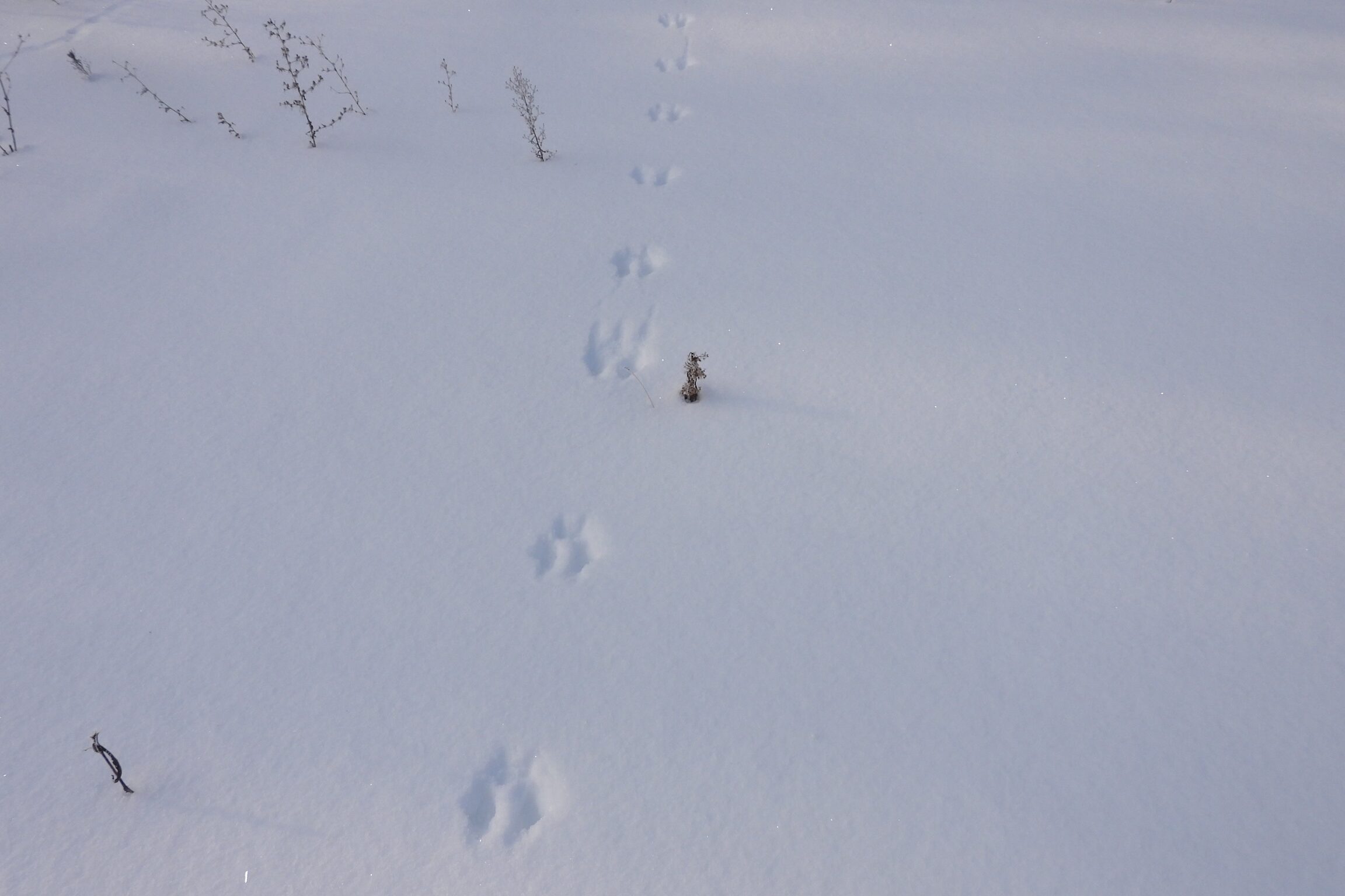
4. Zig-Zaggers
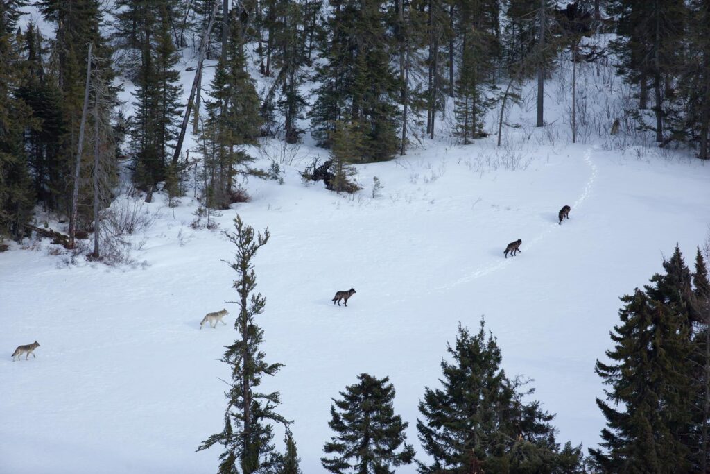
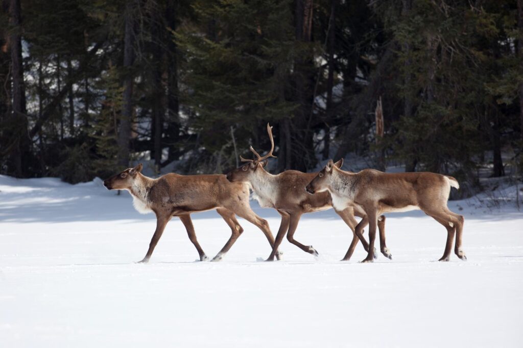
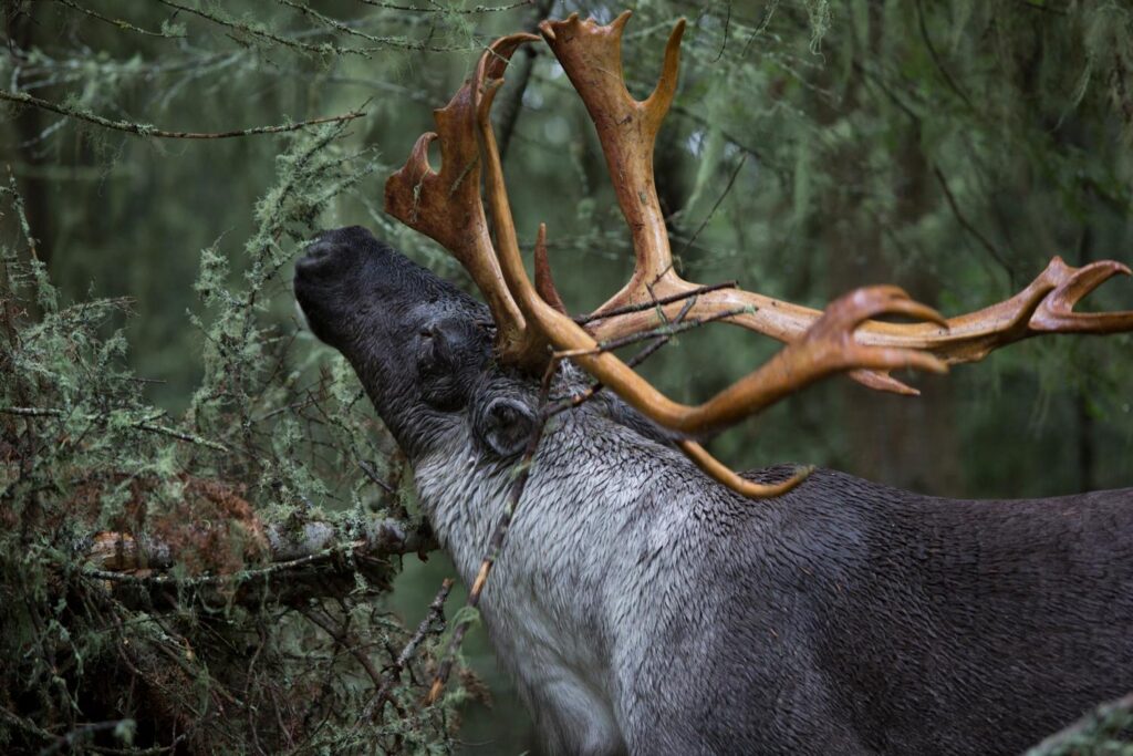
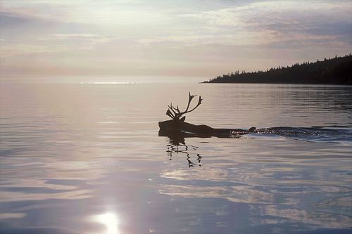
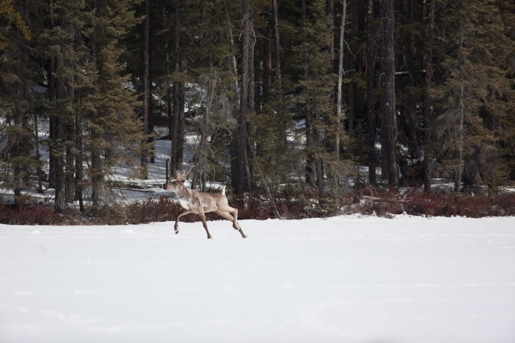
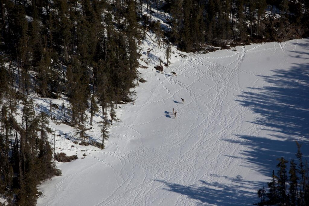
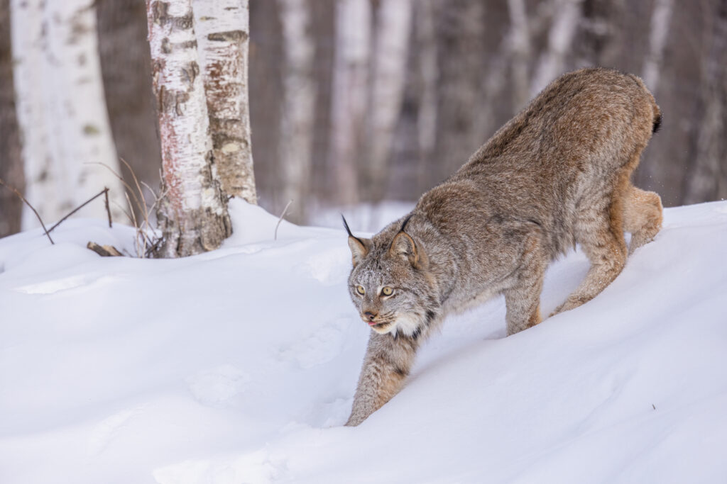
Lynx, fox, moose, timber wolf woodland caribou
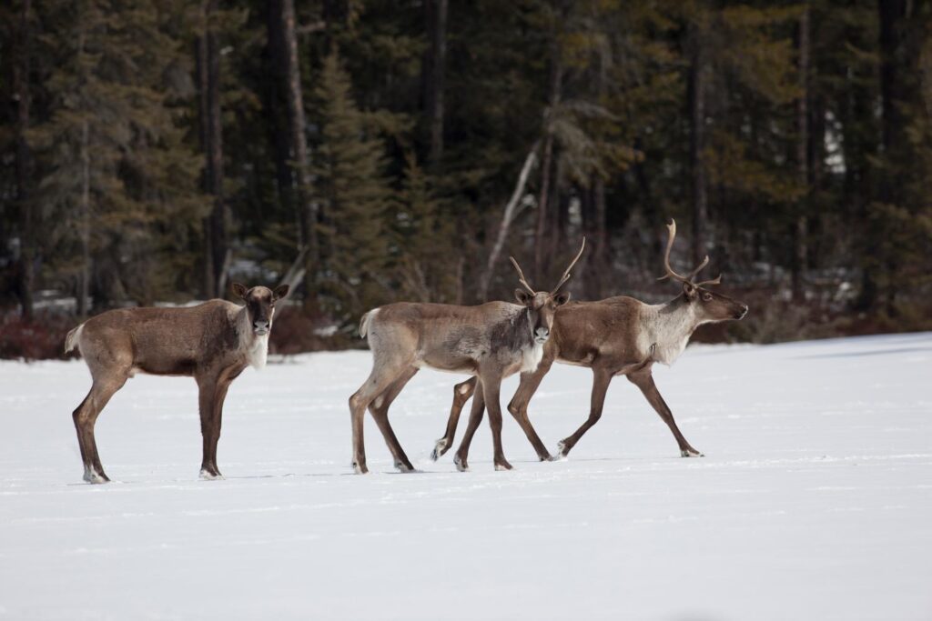
Zig-zaggers usually have long legs. When the animal moves forward, the print from its back foot lands on top of (or very close to) the front print.
What to look for: Single tracks in a straight or slightly zig-zagged line

5. Snow Angel
Eagle, owl
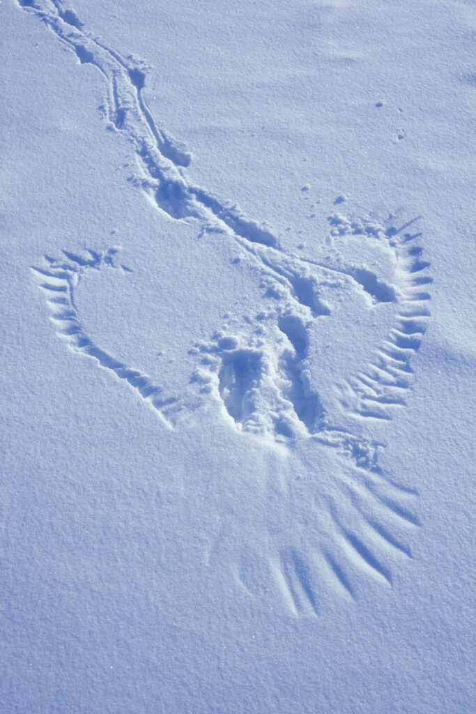
Birds of prey touch down to capture their prey. You can usually see the tracks of a small mammal moving toward the print and messy snow in the centre of the print, where the bird gripped the prey with its talons.
What to look for: Wing, tail and talon marks, and tracks made by prey
Track Like a Guardian!
What animal made the tracks you see? Once you identify the track pattern, ask yourself these 10 questions to narrow down your list:
- What animals live in the area?
- Where are the tracks—such as an open area, riverbank or forest—and what animals tend to inhabit or travel through here?
- What shape is the track?
- How large is the track?
- Does the animal have webbed feet, hooves or foot pads?
- How many toes do I see?
- Does the track have claw marks?
- Is the track deep or shallow (the heavier the animal, the deeper the tracks)?
- Is scat nearby and does it tell me if the animal is a plant eater (pellet-like scat) or meat eater (tube-like scat)?
- Are there any other clues, like multiple tracks indicating that the animal travels in a pack or herd, fuzzy tracks caused by fur between the animal’s toes, or signs of a tail dragging through snow?
The Challenge of Identifying Animal Prints in Snow
Animal prints in snow are often unidentifiable—they may be too deep, fuzzy, melted, blown over, or lack detail—but it’s still fun to look for clues and do your best to narrow down which animals walk among us. Enjoy spotting track patterns this winter!

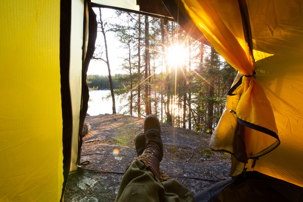
Feature photo: © Ōtake Hidehiro