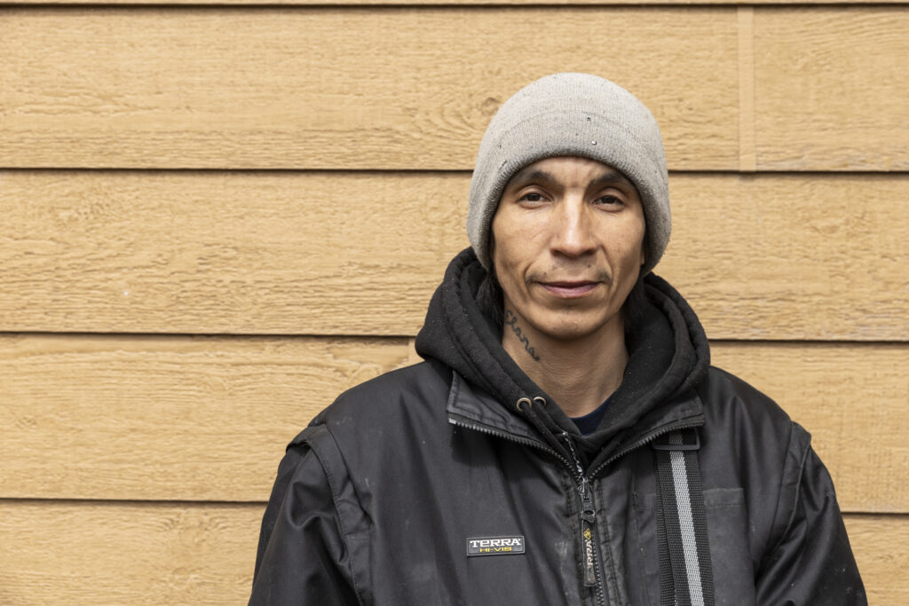
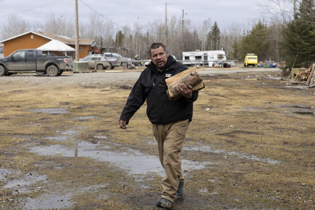
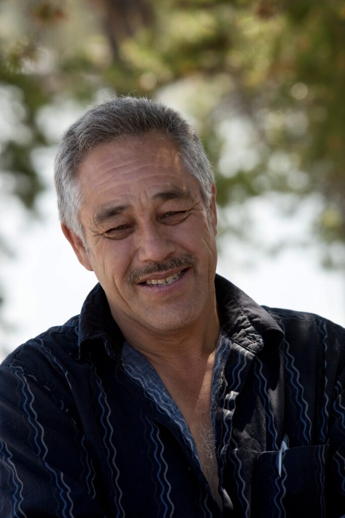
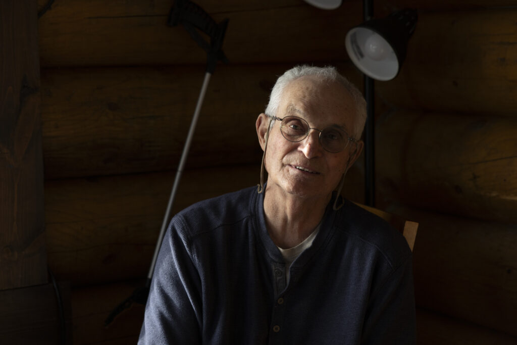
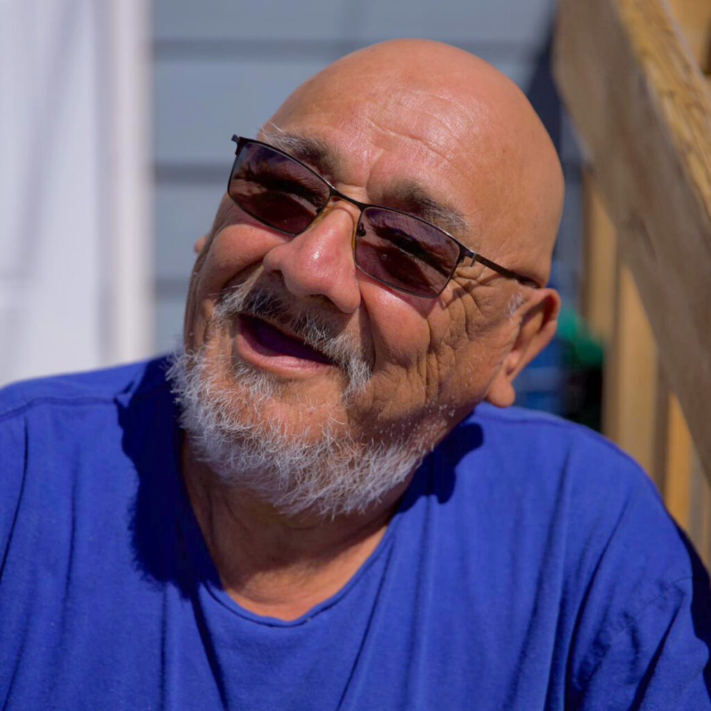
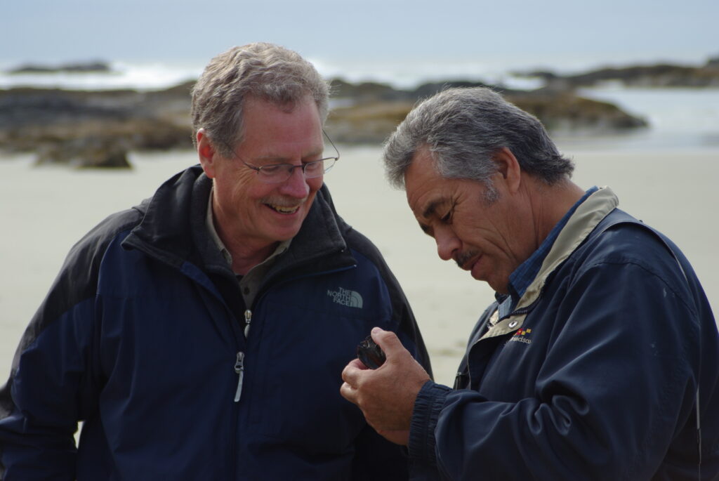
Eddie was a kind, thoughtful, and gentle leader of his community and the Pimachiowin Aki partnership. He served as Pimachiowin Aki Director for Poplar River First Nation from August 2009 until February 2026.
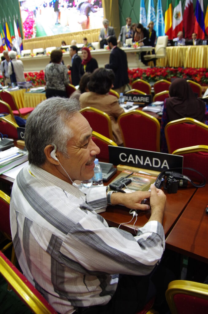
From the early days of the First Nations Protected Areas Accord all the way to inscription of Pimachiowin Aki by the World Heritage Committee, Eddie was there.
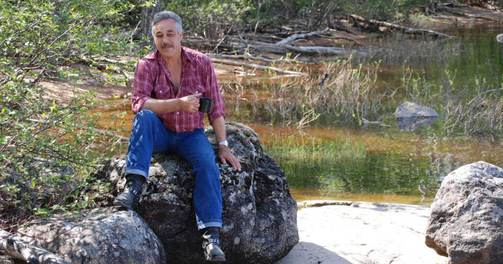
Eddie had a unique style, defined by pearl-snap button shirts, ornate belt buckles and cowboy boots. When greeted in his community with, “Hello, cowboy,” Eddie would respond, “Hello, indian.”
Eddie took care of a horse named Jimmy—the only horse ever in Poplar River that anyone remembers. Eddie would say to young people who came to see Jimmy, “Don’t wear red or he will bite you.” This was his way of encouraging respect for Jimmy and keeping children safe around him.
Always a teacher when the student was ready, Eddie would say just enough to make you think for yourself. An Elder in the truest sense of the word.
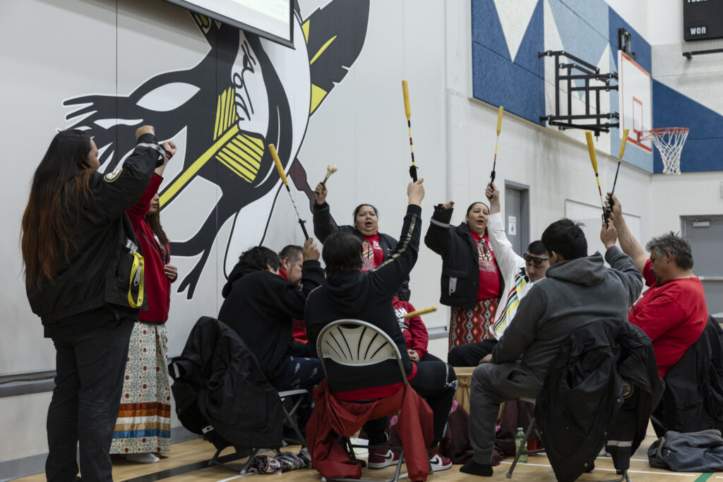
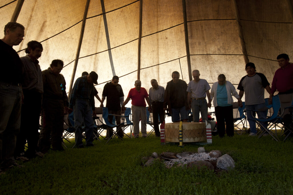
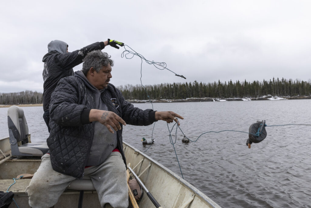
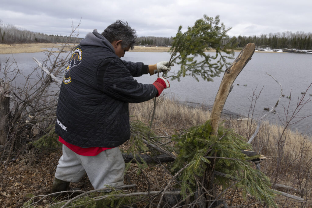
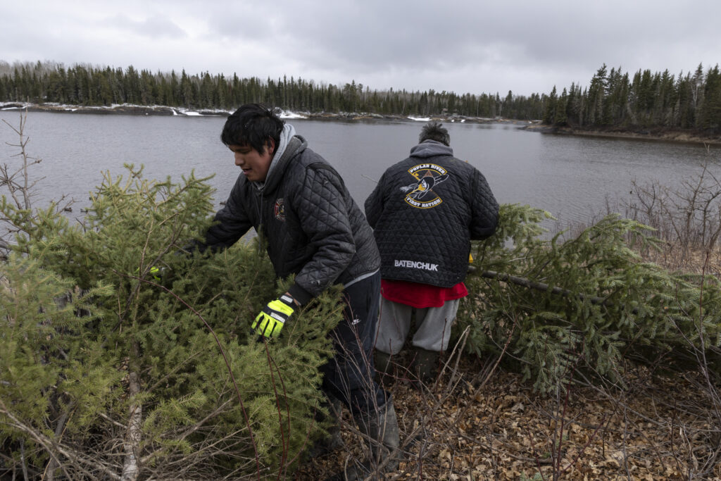
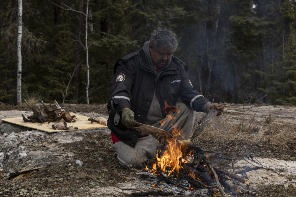
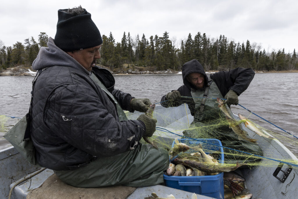
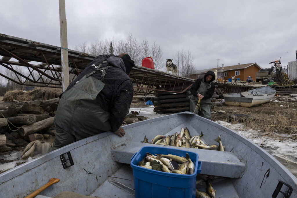
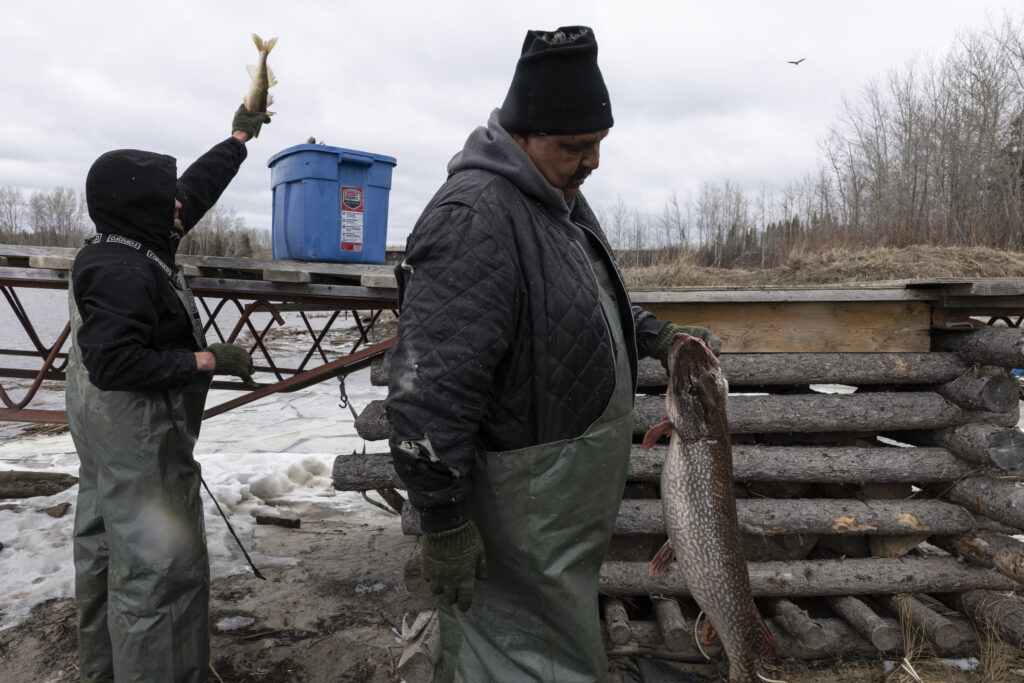
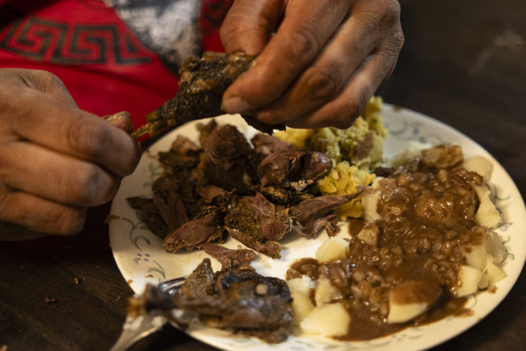
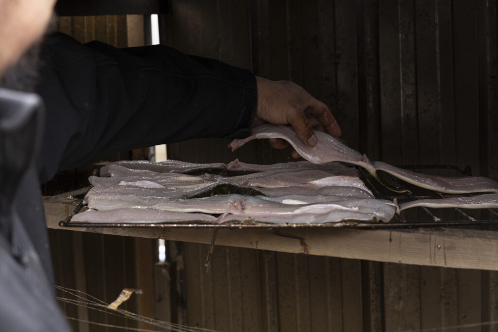
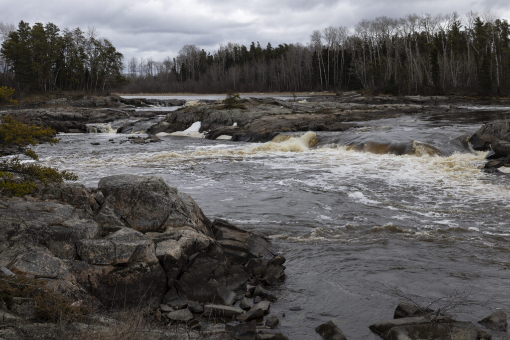
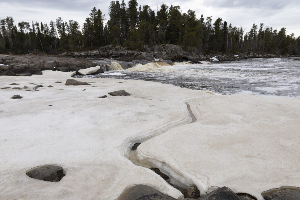
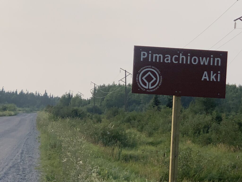
He made immense contributions to protection and commemoration of this land, a legacy inherited from the past and valued enough today to leave for future generations.
Eddie is now on the other journey. His memory and spirit will forever live on in Pimachiowin Aki.